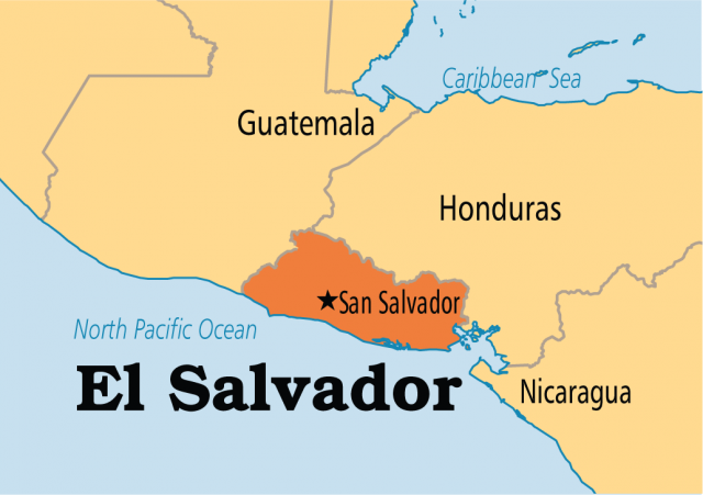
El Salvador
Area 8,108 square mi (21,000 square km)
Population 6.384 million 2014
Capital San Salvador
Highest Point 8,956 ft (2,730 m)
Lowest Point 0 m
GDP $25.22 billion 2014
Primary Natural Resources coffee, sugar, corn, rice, beans.
THE REPUBLIC of El Salvador is located on the PACIFIC OCEAN in Central America, between GUATEMALA and HONDURAS. It is the smallest Spanish-speaking nation in the Western Hemisphere. The country is a democratic republic with a strong executive branch, a unicameral legislative assembly, and a supreme court. For administrative purposes, the country is divided into fourteen departments, which all together make up a territory slightly smaller than the state of MASSACHUSETTS.
Having gained independence from SPAIN in 1821, El Salvador developed slowly but remained reliant upon its cash crop economy and monoculture based upon coffee sales. The country was also war ravaged throughout the 1980s and into the 1990s by a 12-year civil war that completely destabilized the country and claimed an estimated 75,000 lives. Finally brought to a close in 1992, when the conservative government signed a political reform agreement with leftist rebels, the end of the civil war did not automatically result in progress.
More recently, El Salvador has suffered two major natural disasters: Hurricane Mitch in 1998 and a strong earthquake in 2001, both of which brought the country to a standstill. More positively, inflation has finally dropped to single-digit levels recently and exports have grown significantly, even though world coffee prices remain relatively low. El Salvador has a massive trade deficit, but the majority of it is offset by the tremendous amount of remittances sent back to El Salvador by its citizens living in the UNITED STATES, which amounts to over $2 billion annually.
EARTHQUAKES
Geologically, El Salvador rests atop one of the most active tectonic plates, resulting in a high frequency of earthquakes and volcanoes. The country has suffered a long history of earthquakes, consequential in the recorded destruction of the capital city in 1756, 1854, 1919, 1982, 1986, and more recently, in 2001. Two of El Salvador's 20 known volcanoes are active, known as Miguel and Izalco, but violent eruptions are rare. In fact, their eruptions are often enjoyed from safe distances by viewers who awe at the glowing lava that slowly turns into a brilliant luminous color during the night after a minor eruption. The glow from the Izalco volcano has earned the mountain its nickname as the “Lighthouse of the Pacific.”
Two mountain ranges cross the country from east to west and a central plateau rests between them, while a very thin area of coastal plains is found along the Pacific Ocean. The northern range, known as the Sierra Madre, forms the border with Honduras. Once heavily forested, the region has been irreversibly damaged by logging and agriculture. The southern range is actually a chain of clustered volcanoes. The central plateau in between is home to a majority of the country's population and the largest cities.
The country's only navigable river, even though it has over 300, is the Rio Lempa, which flows out of Guatemala, through the central plateau, and cuts through the southern mountains, eventually emptying into the Pacific Ocean.
El Salvador's climate is tropical with clearly distinguishable wet and dry seasons. Temperatures vary by altitude only and not by season. The Pacific lowlands are often unbearably hot, while the highlands and central plateau are more moderate.