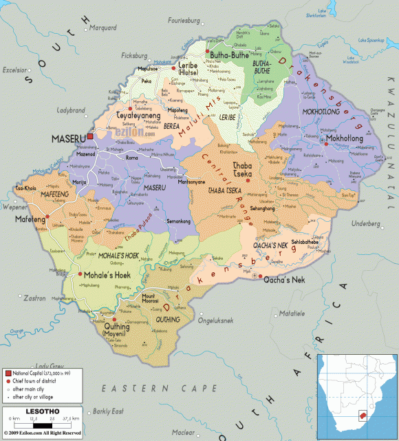
Lesotho
Area 11,720 square mi (30,355 square km)
Population 2.109 million (2014)
Capital Maseru
Highest Point 11,425 ft (3,482 m)
Lowest Point 4,265 ft (1,301 m)
GDP $2.088 billion (2014)
Primary Natural Resources water, diamonds, minerals.
LESOTHO IS LOCATED literally within SOUTH AFRICA: This small southern African country is landlocked and surrounded on all sides by the Republic of South Africa. Lesotho covers an area slightly smaller than MARYLAND.
It is the only country in the world that lies entirely above 3,280 ft (1,000 m) and more than 80 percent of Lesotho is 5,905 ft (1,800 m) above sea level. Lesotho is mainly mountains, hills, and highlands with plateaus. It has a very temperate climate, with cool to cold dry winters and hot, wet summers.
Lesotho has four major mountain ranges within its borders. The DRAKENSBURG MOUNTAIN range, the Central range, and the Thoba Rutsoa range are all in the central and eastern parts of Lesotho and the Maloti range is in the western region. Thabana-Ntlenyana is the highest peak in all of southern Africa. It is also called “The Kingdom in the Sky,” “The Roof of Africa,” and “The Switzerland of Africa.” Deep river valleys and canyons cut these mountains; the water that flows through these canyons is the major water supply for all of southern Africa. Many of the rivers on the southern part of the African continent start in these hills, including the Orange River and its many tributaries. This water is Lesotho's main natural resource.
Lesotho is exploiting its water through the Lesotho Highlands Water Project. This project is designed to capture, store, and transfer water from the Orange River system and send it to the Republic of South Africa. This project not only moves water but produces hydroelectricity as well. There are going to be approximately seven dams and two tunnels when the project is complete in 2020. With the first phase of the project already completed, Lesotho has become almost completely self-sufficient in the production of electricity. Already it has generated approximately $24 million annually through the sale of electricity and water to South Africa.
The kingdom of Lesotho is heavily populated especially in the western part of Lesotho where there is more arable land. There, the people raise crops of corn, sorghum, wheat, beans, peas, asparagus, tomatoes, and peaches. Most of the land is used for raising animals such as sheep, goats, cattle, pigs, chickens, and horses. These people, called the Basotho, are remnants of various ethnic groups made up mainly of various Bantu-speaking people and some of the original San or Bushmen who were Lesotho's earliest inhabitants. The Basotho managed to fend off both the Zulus and the Boers in the 1800s.
On October 4, 1966, Lesotho gained independence. The Lesotho government is now a constitutional monarchy with a king as the head of state and a prime minister as the head of government. Currently, the king serves primarily as a ceremonial figure with no executive power. However, all land in Lesotho is held by the king and is allocated to the Basotho people through local chiefs. Foreigners in Lesotho are strictly forbidden from owning land. Lesotho has one of the highest literacy rates in Africa; official languages are English and Sesotho, a Bantu language.