Guinea
Area 94,925 square mi (245,857 square km)
Population 12.28 million (2014)
Capital Conakry Highest Point 5,748 ft (1,752 m)
Lowest Point 0 m
GDP $6.624 billion (2014)
Primary Natural Resources bauxite, iron ore, diamonds, precious metals.
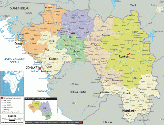
GUINEA IS LOCATED in the southwestern part of West Africa. It is bordered by GUINEA-BISSAU, SENEGAL, and MALI to the north, by COTE D'IVOIRE to the east and southeast, by LIBERIA and SIERRA LEONE to the south, and by the ATLANTIC OCEAN to the west. Guinea is a humid tropical country with four main geographic regions.
There are alluvial coastal plains in Lower Guinea; the mountainous Fouta Djallon highlands in Middle Guinea, with an average elevation of 3,000 ft (915 m); the northern savanna in Upper Guinea; and the southeastern rainforest in Forest Guinea, which includes the Nimba Mountains.
Lower Guinea, also known as Maritime Guinea, stretches from the Atlantic Ocean inland to and including the foothills of the Fouta Djallon mountains. Tides along the coast are very high, reaching 15 ft (4.5 m), and creating an area of brackish marshes and estuaries that stretch many miles inland. Past these swamps is the alluvial plain, which is on average 30 mi (48 km) wide. Periods of heavy rain cover these plains resulting in soggy soil, but this along with the equatorial heat favor agriculture in this area. The people of Guinea grow rice, millet, maize, oil palms, kola trees, and in the southern part of Lower Guinea, bananas and pineapples. Originally living in this area were the medieval Ghana people; later it became part of the Mali Empire. Currently, the Soussous inhabit this area.
Middle Guinea is covered by the Fouta Djallon Mountains, which consist of a mass of complex, elevated, relatively level plateaus. In many places, these plateaus are cut with deep, steep-walled valleys. Most of these valleys extend for long distances; many are at right angles to each other, creating a checkerboard appearance to the region. Many of the major African rivers begin in this area, including the Gambia, the Senegal, the NIGER, and 19 others. Living in Middle Guinea are the Peuhl, who raise cattle in the highlands.
Upper Guinea stretches east of the Fouta Djallon and is covered in tall grass savannas. This area is cut by a long rocky spur stretching eastward along the Mali border for over 100 mi (160 km). Some shorter spurs also stretch east from the Fouta Djallon. Along the western border with Mali are rounded granite domes rising above the plains. This area is inhabited by the Malinke people, who also make up part of the inhabitants of the Forest region.
Forest Guinea covers the southeastern corner of Guinea. This area has several peaks above 4,000 ft (1,220 m). Many of these peaks are lightly forested and have crests of bare rocks. Below 2,000 ft (610 m), this area is covered in dense rainforest. The Malinke and other small groups, including the Gerze and Toma peoples, inhabit this area. They raise cattle and cultivate crops of rice, maize, cassava, bananas, coffee, kola trees, and oil palms.
FRANCE gained control of Guinea in 1898 when it defeated the armies of Samori Toure, a warlord and leader of Malinke descent. The French negotiated for the boundaries of Guinea that are in use today. On October 2, 1958, France withdrew from Guinea in the face of the Democratic Party of Guinea, led by Sekou Toure and backed by almost the entire native population of Guinea. Guinea became a dictatorship until Toure's death in 1984. Since then, President General Lansana Conte has created civilian rule and democratic reform in Guinea.