West Virginia
WITH ITS CAPITAL at Charleston, West Virginia occupies 24,181 square mi (62,629 square km). Its lowest point is the Potomac River at 210 ft (73m) near Harper's Ferry. It's highest point is Spruce Knob at 4,863 ft (1,483 m) and its primary natural resources are coal, natural gas, stone, salt, oil, and mineral springs.
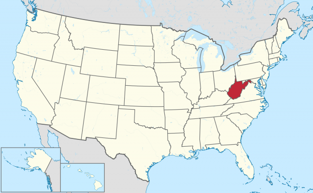
West Virginia (population 1,808,344) is known as the Mountain State for obvious reasons: unless you are traveling along a river valley, you are always traveling either up or down. Two major physical regions dominate the state: the Appalachian Ridge and Valley Region in the east and the Allegheny Plateau in the center and west. West Virginia's borders are defined almost entirely by natural features—rivers and ridges—giving it one of the most irregular shapes of any state in the United States.
Formerly known as the Trans-Allegheny region of VIRGINIA, the new state of West Virginia was created in 1863 out of the northwestern counties of Virginia, both for reasons of both politics (prounion, antislavery), and of economics. Much of the population of western Virginia was oriented toward the development of the Ohio River valley and the wild west beyond, not toward the tobacco plantations of Virginia's Piedmont and Tidewater areas. The new state needed access to eastern commercial and port cities, however, so the counties now known as the Eastern Panhandle were added, providing an economic supply line via the Baltimore and Ohio Railroad. Through the succeeding century, West Virginia supplied the nation with much of its raw coal. This has been less in demand since the 1960s, seriously weakening the local economy, which had become almost entirely dependent on coal mining.
The Appalachian Ridge and Valley Region consists of several parallel ranges and narrow valleys. Only the easternmost ridge (in the Eastern Panhandle) is the Blue Ridge, whereas the rest are the Allegheny Mountains. Most of the rivers in this area are small and swift and flow northward into the watershed of the Potomac River, which forms the state's northern boundary with MARYLAND. A few of the rivers in this region flow south and east into the James River valley of Virginia. West Virginia's highest peaks are located in this region, including Spruce Knob.
Many of the mountains in West Virginia rise above 4,000 ft (1,200 m), with the average elevation of the entire state at 1,500 ft (450 m). The peaks of the Ridge and Valley Region are heavily forested and lie within some of the nation's largest protected forests, the Monongahela and the George Washington national forests. The western edge of this region is called the Allegheny Front, where the sharp, rugged mountains of the east meet the more rolling terrain of the Appalachian Plateau. The Allegheny Front runs in a southwest-to-northeast line, roughly from Keyser to Bluefield.
The Allegheny (or Appalachian) Plateau, which covers five-sixths of the state, was once relatively level but has been cut down through erosion over millions of years, creating flat-topped highlands and several deep and windy river gorges, most notably the New River (ironically one of the oldest rivers in the nation). Rivers in this region flow westward to the Ohio River: the New joins with the Kanawha to form the state's most important waterway.
Other rivers in this region include the Big Sandy River, the Cheat, and the Monongahela (which flows northward, passing through Pittsburgh, before finding its way back to the Ohio Valley). These river valleys are the site of most of West Virginia's industries and largest towns: Charleston, Huntington, Parkersburg, and Wheeling. Wheeling is the main town of West Virginia's second irregular promontory, the Northern Panhandle, a thin wedge that follows the Ohio River between the states of OHIO and PENNSYLVANIA (at its narrowest, only 15 mi or 24 km wide).
West Virginia's borders with PENNSYLVANIA are the only part of its borders that do not follow natural contours, but instead were marked along straight lines set down by surveyors in the 18th century, including the westernmost 56 mi (90 km) of the Mason-Dixon line. A leading industrial city and shipment point, Wheeling was the state capital from 1863 to 1870, and again from 1875 to 1885.
There are 55 counties in West Virginia. The population is relatively mixed, with predominantly African-American counties concentrated in the far south, while the Appalachian Highlands were first settled by Scots-Irish, reminded of the rolling blue-green mountains of the Scottish Highlands. Charleston and other large towns saw rising levels of European immigrants in the early part of the 20th century, notably Italians, Poles, and Hungarians.
Charleston today has a population of roughly 52,000 (2002) and is the center of West Virginia's heavy industries (along the Kanawha River as far downstream as the Ohio Valley) and emerging hightechnology industry. Tourism is replacing coal as West Virginia's most important economic activity: visitors are drawn to the magnificent mountain scenery and associated activities: hiking, camping, white-water rafting (along the New River in particular), some of the most famous rock-climbing faces in the eastern United States (like Seneca Rocks), and West Virginia's numerous mineral springs, such as those at the resort towns of Berkeley Springs and White Sulphur Springs. Remains of Native American settlements are found predominantly in the Northern Panhandle, including the famous conical burial mounds at Moundsville.