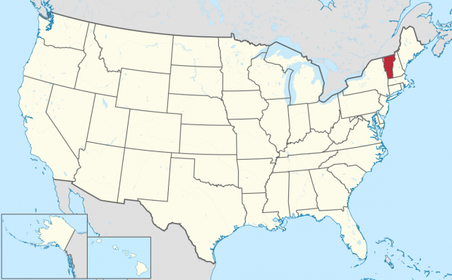
Vermont
BOUNDED BY THE Canadian province of Quebec to the north, MASSACHUSETTS to the south, NEW HAMPSHIRE to the east, and NEW YORK to the west, Vermont covers an area of 9,609 square mi (24,887 square km) and is located in the westernmost portion of the New England region of the UNITED STATES. Its highest point, Mt. Mansfield, reaches an elevation of 4,393 ft (1,339 m) above sea level, while the state's lowest point, Lake Champlain, is 95 ft (29 m) above sea level.
The name Vermont derives from the French words “vert mont,” the English translation of which is used as the state's nickname: Green Mountain. Such a name is accurate, as Vermont is predominantly a hilly area with nearly two-thirds of the state covered in forest. The remaining third is covered by uplands, meadows, ponds, lakes, and swampy wetlands. Among these forests, many different species of trees exist. Hardwoods such as basswood, beech, and maple are prevalent throughout the state, while conifers, or needle-leaved plants, can be found in elevations over 2,000 ft (609 m).
The most common animal found in Vermont is the white-tailed deer, which thrives in Vermont's vast forests. Other animals include bears, Canadian lynx, and coyotes, as well as a very sparse population of mountain lions.
Lake Champlain, Vermont's and also New England's largest lake with coverage of roughly 315 square mi (816 square km), serves as the mouth for most of the state's major rivers. These include Otter Creek, the largest river, which flows about 95 mi (153 km) through northwestern Vermont before emptying into the lake. Others rivers that follow the same path, but are comparatively smaller, include the Lamoille, the Missisquoi, and the Winooksi rivers.
Vermont can be divided into six distinct geographical regions. The largest of these, the Green Mountain region, runs north to south in the central portion of the state, and is characterized by the high-peak Green Mountains that rise to several thousand feet above sea level, the most notable of which is Mt. Mansfield. In the north, the range descends into the Northfield, Worcestor, and other smaller mountain systems. The Northeast Highlands, located in the northeast corner of Vermont, contain the Granite Mountains. The tallest of these include the Gore, Burke, and Monadnock mountains, all of which exceed 3,000 ft (914 m) in height. Dividing the mountains in the Northeast Highlands are swift-flowing streams. In the southwestern region of Vermont there lies the Taconic Mountain region, which covers only a small portion of the state and extends far beyond into Massachusetts. The region is known as being the second-most mountainous area in Vermont, with Equinox Mountain (3,816 ft or 1,163 m) and Dorset Peak (3,770 ft or 1,149 m) being its highest peaks.
Bordering Lake Champlain in northeastern Vermont, the Champlain Valley is often called the Vermont Lowlands, and contains fertile farmland, accounting for nearly all of the state's dairy industry. Champlain Valley's relatively consistent elevation makes it more habitable than any other region in Vermont, as evidenced by Burlington, Vermont's most populated city, being located there. Covering most of the eastern portion of Vermont is the Western New England Upland, which extends southward into Massachusetts and CONNECTICUT. With the most fertile soil found outside of the Champlain Valley, the Western New England Upland is sometimes called the Vermont Piedmont, because of the plateau-esque landscape that runs from east to west. The Vermont Valley, the southernmost and smallest portion of Vermont, is an area mainly consisting of rivers and river valleys. It takes its name from the fact that it is wedged between the Taconic and Green mountains.
Vermont's climate is typically colder than most of the continental United States, with temperatures nearly 10 degrees F (6 degrees C) below the national average. In the spring, a mud season occurs, in which the remaining snow and ice precipitation from winter melts, damaging the state's roads. This is followed by a cool summer and a colorful autumn, when, due to the abundance of sugar maple trees, Vermont's hills explode into a dazzling array of red, gold, and orange foliage. During the winter, the average temperature is a bitter 21 degrees F (-6 degrees C). With its abundance of snow—in some mountains 100 in (254 cm) falls every year—Vermont is one of the East Coast's premier skiing destinations.
Vermont traces its history back to 1609, when Samuel de Champlain, a French explorer, claimed the
area of what is now known as Lake Champlain. Following the Treaty of Paris in 1763, the area was ceded to the British, who battled Revolutionaries until the region was declared an independent republic in 1777. Called New Connecticut initially, Vermont drafted and ratified its own constitution, the first of its kind in North America. In 1791, however, the constitution became obsolete, as Vermont joined the Union as the 14th state.