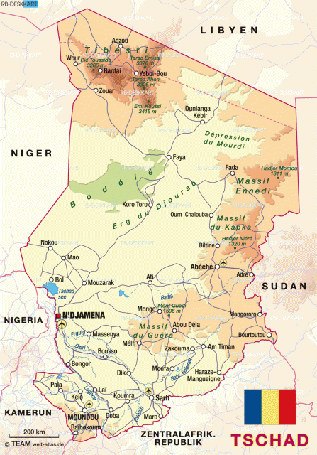
Tibesti Massif
THE TIBESTI MASSIF is a giant triangular massif located in southern LIBYA and northern CHAD. It lifts abruptly out of the SAHARA DESERT and is visually impressive. The massif covers an area of over 38,610 square mi (100,000 square km); over 11,583 square mi (30,000 square km) of this area consists of volcanic rock. The Tibesti Massif is separated from the other Saharan massifs to the east and west by deep basins of sedimentary rock. The highest mountain in the Sahara Desert is part of the Tibesti Massif. It is an extinct volcano, reaching 11,205 ft (3,415 m) above sea level, called Emi Koussi. It sits in the center of the Tibesti Massif and the crater is 11.8 mi (19 km) wide and 3,937 ft (1,200 m) deep. Emi Koussi is one of several stratovolcanos on Tibesti Massif and is almost perfectly intact, with many fine examples of fumaroles, or vapor vents.
Tibesti is only one of several massifs in the Sahara Desert. The largest massifs in the Sahara are Tibesti, Hoggar in southern ALGERIA, and Jebel Marra in western SUDAN. These massifs formed in the Mesozoic and Tertiary periods with major uplifting in the Earth's crust. Their formation continued through the Tertiary period and into the Quaternary period, with massive outpourings of lava and more uplifting. Only one of the volcanoes on Tibesti has shown any recent stirrings. The rest are considered extinct. Radiocarbon dating from the granite rocks of Tibesti Massif indicates that it was formed about 500 to 600 million years ago.
LAKES AND RIVERS
Like most of the rest of the Saharan area, Tibesti once had a wetter climate with many lakes and rivers. About 12,000 years ago this cycle ended and the area is now parched and dry. The landscapes of the area consist mainly of massive rock formations and some sand. Where there was once water flowing off Emi Koussi and the Tibesti Massif, many sharp valleys formed, diverging in all directions.
During an expedition in 1907, Captain J. Tilho found within one of the Tibesti water holes a living crocodile, a survivor of the residual fauna of that wetter time. There are no such creatures existent today because of the climatic changes. With the change in climate and increase in winds, megagrooves formed around the base of the upland areas of Tibesti and aligned with the dominant northern winds. These grooves are up to 32.8 ft (10 m) deep, closely spaced, and parallel to each other. These megagrooves can actually be seen from space and are one of the most unusual landscapes on our planet.