Kansas
LOCATED MIDWAY between the east and west coasts of the UNITED STATES, Kansas has a unique position as a geographic hub. Despite images to the contrary, Kansas has a unique geography as a transition between the historic farmlands of the east and the open range of the west. The land rises gently from 679 ft (207 m) above sea level in the southeast to 4,039 ft (1,232 m) at Mt. Sunflower in the northwest. In between, the land is interspersed with a mixture of large and gently rolling hills and soils that become progressively drier once you pass the middle of the state near Salina on the way west.
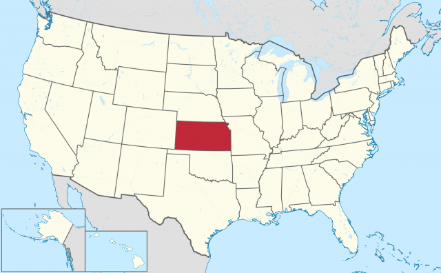
The Flint Hill region in the east and west-central part of the state represents one of the last true tall grass GRASSLANDS with its golden prairies in spring and early summer, gentle streams, free-roaming cattle, and a quietness that brings to mind images of cowboys and campfires. In the northeast, the hills are more sharply defined by a rockier terrain and are heavily wooded, a remnant of the last great glacial advance that moved across the North American landscape. From the 100th meridian westward, the land becomes drier and the hills less prominent as you approach the western boarder. Here the Great Plains dominate and a sand hill region is exposed, typifying a PHYSICAL GEOGRAPHY that is prominent from MEXICO far into CANADA. It is also representative of a time when great parts of the continental interior of the United States were covered by ocean waters, which as much as glaciers from the ice ages has helped shape the American landscape. Kansas is bordered by MISSOURI to the east, OKLAHOMA to the south, COLORADO to the west, and NEBRASKA to the north. With a total area of 82,282 square mi (213,064 square km), the state's 2,688,418 residents live in the 15th largest of the 50 states. Kansas was the 34th state to join the United States, doing so on January 29, 1861.
Kansas's waters have played an important role in its development. Early settlers to the region found their way by following the Missouri River upstream from St. Louis to the point where the river is joined by the Kansas or Kaw River and makes a major turn to the north. By the 1820s, this convenient location had become an important warehousing and distribution center as early Kansas City took form in providing support for the Santa Fe and Oregon trails. Other major waterways that continue to serve the state are the Kaw, Republican, and Smoky Hill rivers in the north, and the Arkansas, which makes a somewhat east-west transect of the southern half of the state on its way from the ROCKY MOUNTAINS to the Gulf of Mexico. Kansas is also home to one of the largest underground aquifers (the Ogallala) in the United States. Use of the waters from this aquifer has greatly expanded the agricultural potential of the drier, sandier soils of the western part of the state by allowing a shift from dryland to irrigated production practices. Once known primarily as the “wheat state,” Kansas now has significant corn, soybean, and sunflower crops in addition to a thriving cattle industry.
Kansas is historically an agricultural state, ranking third behind TEXAS and MONTANA in total agricultural acreage. While Kansas is the nation's top wheat grower and also the leading producer of grain sorghum and corn, manufacturing and service industries have recently surpassed agriculture as the major income producers. The two leading industries are the manufacture of transportation equipment and industrial and computer machinery. Other important manufactures are petroleum and coal products and non-electrical machinery. In addition, the state is a major producer of crude petroleum and has large reserves of natural gas, helium and salt. Cattle and calves represent the single most valuable agricultural product, and the Kansas City stockyards are among the nation's largest.
Economically, the state can be divided into several distinct production zones. In the wooded northeast, the manufacturing of a variety of products, including automobiles in the Kansas City-region, dominates. The southeast has a strong aircraft manufacturing sector centered in Wichita, as well as railroad shops, flour mills, meatpacking plants, grain elevators, and oil fields. Coal production along the eastern border corridor with Missouri has long helped serve the electric energy needs within the region. The southwestern part of the state around Garden City is home to several major meatpacking firms in addition to feedlot operations and natural gas and helium production facilities. The central, northwest, and north-central portions of the state retain the economic stability of what has come to be called the “heartland,” with large-scale scientifically managed farming operations.
The state's main population centers include the Kansas portion of metropolitan Kansas City in the northeast; Wichita, the state's largest city in south central part of the state; Topeka, the state capital; and Lawrence in the northeast.