How Have Global Pressures and Winds Affected History in the North Atlantic?
INTERCONTINENTAL TRAVEL AND TRADE have relied upon moving currents in the air and oceans. Before the 20th century, when transoceanic travel and shipping relied on wind power, global winds, such as the trade winds and westerlies, dictated which directions of travel were possible at different latitudes. The directions of global winds therefore greatly influenced the exploration and colonization of the Americas, and traces of that influence can be detected in past and present cultures.
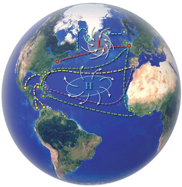
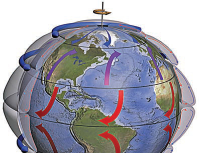
This small globe shows the main belt of global winds, controlled by the pressure-gradient force and Coriolis effect. Can you locate and name the main wind belts? In the Northern Hemisphere, trade winds (shown in red) blow from northeast to southwest, allowing wind-powered sailing ships to travel from western Africa to Central America and the northern part of South America.
The polar easterlies (shown in blue) likewise allowed westward travel, but under cold and stormy conditions.
In contrast, westerlies (shown in purple) allowed a return trip from North America to Europe, but only in the mid-latitudes. Ships commonly had to travel north or south along coasts to catch a prevailing wind going in the direction of intended travel across the Atlantic Ocean.
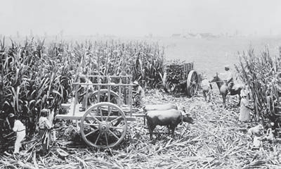
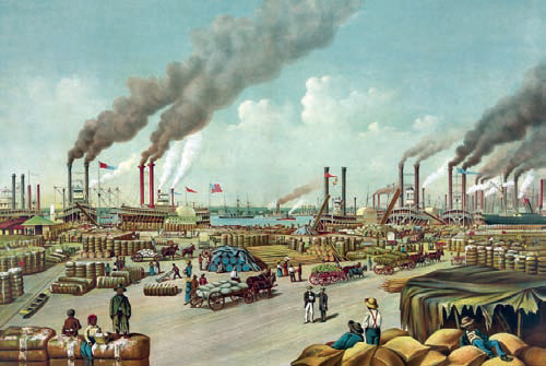
Plantations in the southeastern U.S. depended upon African slave labor to cultivate and harvest cotton, tobacco, and tropical agricultural products. In contrast, the economy of the northeastern U.S. was based more upon manufacturing and the refining of products grown on the southern plantations, with the final refined product being exported to western Europe. The traditional cultural divide between the northern states and southern states is the Mason-Dixon line (near 40° N), which corresponds roughly to the global climatological divide between the zones of excess climatic energy to the south and an energy deficit to the north. The excess and deficit energy settings controlled which crops could be grown in the two regions and allowed different kinds of activities by impacting the climate. This climate-energy boundary contributed to the political and social attitudes that existed then and today.
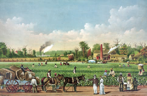
Slaves and various provisions were brought from Africa on ships utilizing the trade winds on either side of the equator, winds that provided a direct conduit of trade from western Africa to equatorial parts of the Americas. Most slaves were put to work on labor-intensive tasks, such as agriculture, in and around the tropical regions of the Caribbean. Their descendants still exert a great influence over the distinct culture of the islands and coastal areas in the region.
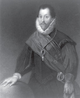
After Portugal and Spain agreed to divide the “new” world into two separate spheres of influence, the Spanish encountered difficulty in transporting products and plunder from the Pacific empire across Portuguese territories, especially Brazil. Spanish goods were brought to Caribbean ports or were transported across the isthmus of Central America, before being stockpiled temporarily in Spanish ports in the tropics, including Havana, Cuba. Treasure-bearing sailing ships departing tropical ports had to sail north up the coast of Anglo-America (the yellow paths on the large globe) in order to reach the mid-latitude westerlies, which then carried the ships east to Spain. This coast provided an ideal safe haven for English privateers, like Sir Francis Drake, who captured many ships and their content, enriching the privateers and England in the process, and laying the financial foundation for the British Empire.
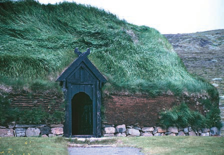
The Viking explorer Leif Erickson probably visited North America about 500 years before Christopher Columbus. Moving westward from Scandinavia, the Vikings progressively colonized Iceland and Greenland before journeying across the Davis Straits to Baffin Island and the coast of Labrador (the blue path on the globe). The remains of a Viking settlement have been found on the most northerly tip of Newfoundland at L'Anse Aux Meadows. Viking ships would have employed the polar easterlies and associated ocean currents to aid their westward migration. Ironically, a shift to a much colder climate in the late 15th century caused the extinction of the settlements in Greenland at exactly the same time as Columbus was embarking on his explorations.
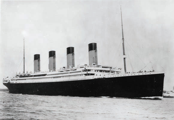
When the steam-powered Titanic left Southampton, England (51° N), for New York City (41° N) in April 1912, global winds and currents were no longer such a strong determinant of oceanic travel routes. The planned northerly route (red path on the globe), however, crosses a treacherous part of the North Atlantic Ocean — the region with stormy weather near the subpolar lows. The Titanic sank at 42° N off the east coast of Canada, striking an iceberg brought south by global winds and ocean currents.
The prosperity of many trading ports in western Europe and the Americas during the early 19th century was based on various types of interconnected trade that followed a triangular path (green path on the globe). Manufactured goods from the emerging European industrial economies were loaded for trade with West Africa.
There, African slaves were taken on board and carried west by the trade winds to the Americas. Once in the Americas, the slaves were traded for the products of the tropical plantation system. Using the westerlies, the raw goods were returned to western Europe for consumption or industry. The triangular path was designed to maximize favorable winds and to avoid the subtropical high pressures and calm winds of the horse latitudes.
Departing from Cadiz, Spain (36° N), Christopher Columbus wanted to sail west, but first had to sail south down the northwestern coast of Africa to avoid the westerlies and instead pick up the northeast trade winds (the purple path on the globe). Portuguese navigators had known this strategy for many years, and Columbus probably learned of it when he attended the school of navigation in Sagres, Portugal. Global wind patterns therefore controlled Columbus's path and explain why in all likelihood, he first stepped ashore in the Bahamas (24° N), much farther south than Cadiz, where he started.